Products
Asset-type modules on a shared monitoring stack.
One platform underneath every module — the same InSAR ingest, ground-motion analytics, scoring, and workspace, wrapped around a different asset schema. New modules ship when the market signal calls for them.
Bridges Controlled demo
Network-wide displacement screening with NBI asset context, NBIS between-inspection prioritization, and IIJA-aligned reporting. Built and exercised against the Montana state inventory.
- Screen entire bridge networks for active ground movement
- NBI integration with condition rating overlay
- Per-structure velocity, confidence, and risk tier
- Prioritization layer for 23 CFR 650 context, not an inspection replacement
Pipelines Controlled demo
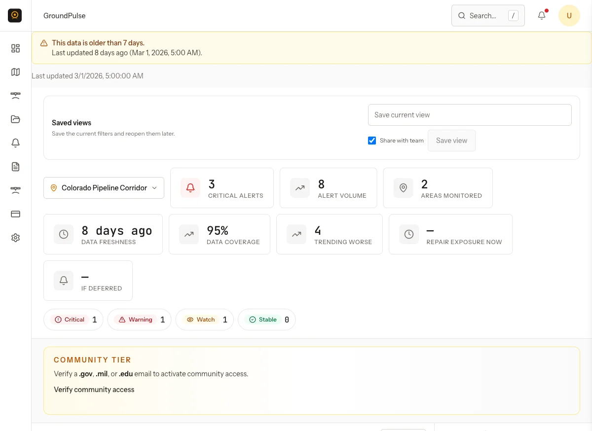
PHMSA-aligned geohazard screening across right-of-way corridors. Segment-level ranking, displacement history, quality scoring, and pipeline-specific risk rules.
- Corridor-wide displacement at segment level
- Supports API RP 1187 Level 1 screening (landslide) and 49 CFR 192.917 / ASME B31.8S (other geohazards)
- Watch / warning / critical thresholds with alert events
- GeoJSON / Shapefile / Esri-ready exports
Roadways Controlled demo
Corridor and district-level displacement monitoring for highway and roadway networks. Geohazard classification, cut/fill context, and district dashboards.
- Network-wide corridor screening with district rollups
- Geohazard taxonomy: landslide, rockfall, subsidence, embankment settlement
- Cut / fill / at-grade context per segment
- Field-validation status tracking
Private dams Scoping
Asset model, ingest, and displacement endpoints in place; productized UX and reference artifact in scoping. Targeted at high-hazard private dams and small hydro under FERC.
- Asset schema and ingest path operational
- Displacement endpoint per dam crest
- FERC-compliance reporting scoped, not yet built
Transmission & distribution, ports, and rail embankments are candidate modules. Sequence is set by buyer signal, not a roadmap.